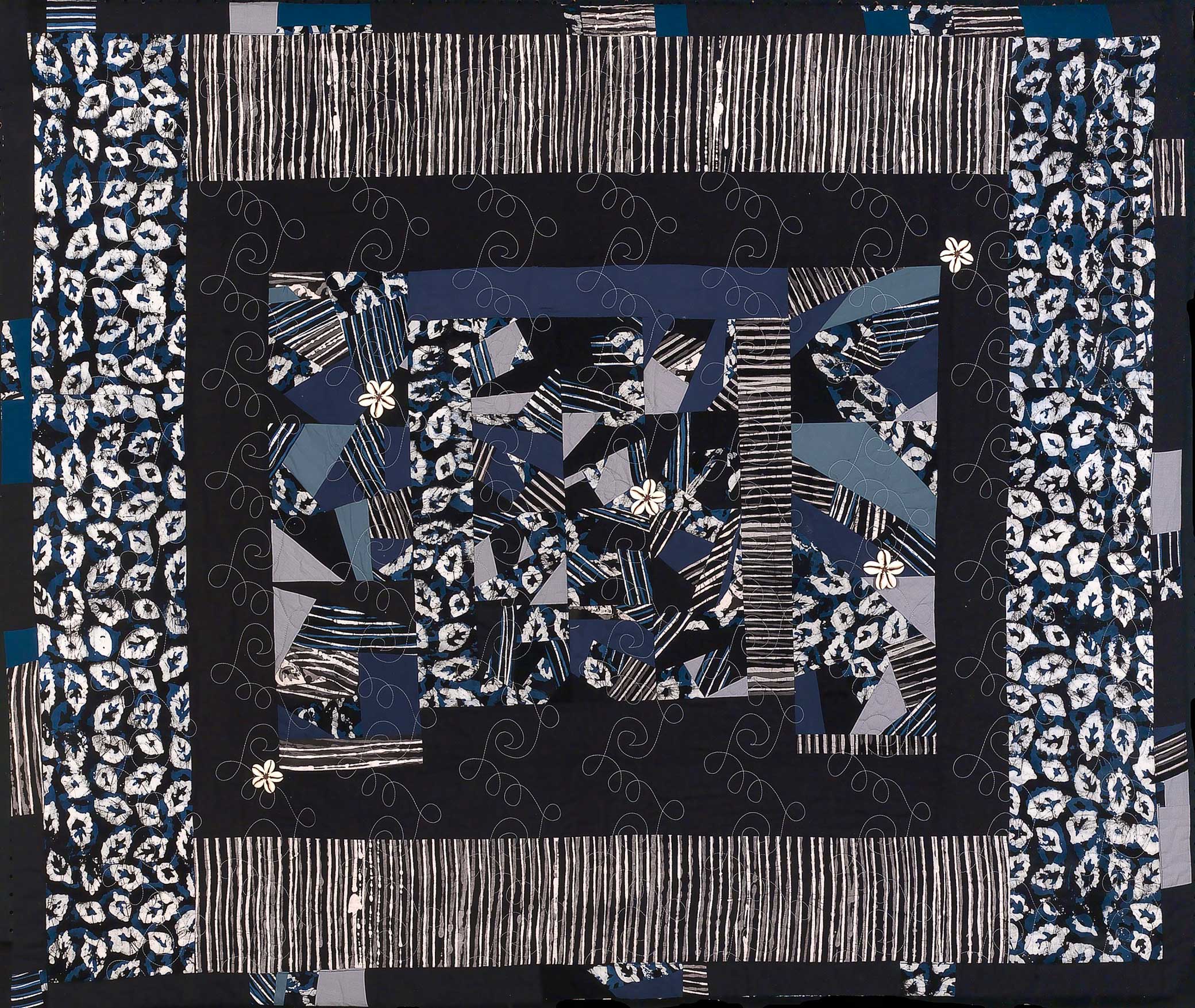
Rites of Passage II, by Ed Johnetta Miller, 1998. Smithsonian American Art Museum, gift of the artist, 2002.
African Americans in the Lowcountry watched two horizons in late August 1893. On one loomed the specter of white supremacy threatening to engulf the region, and on the other stirred wind and water that could scour the region of their crops and homes. Both forces were also cyclical: white supremacy mustered a backlash to every step forward, and hurricanes churned across the Atlantic every fall. These patterns of nature and politics intertwined in the Lowcountry for hundreds of years. Some ruptures had rearranged these relations. Emancipation and the subsequent reclamation of thousands of acres of land by people who were formerly enslaved had altered the social and political landscape. African Americans strove to cultivate lasting traditions that preserved their communities, protected their labor from exploitation, and strengthened bonds of kinship that could help them weather the coming storms.
Most residents could expect to experience a significant hurricane once each generation. A sweltering heat wave in 1752 preceded a mid-September hurricane with a storm surge that “came rolling in with great impetuosity,” per a later Weather Bureau report, flooding Charles Town in ten feet of water. The deadliest storms rarely incurred their toll within Charleston’s city limits, however. In 1804 a hurricane swept across the Caribbean and drowned hundreds, mostly enslaved rice workers in Georgia and South Carolina. In 1822 a hurricane brushed past Charleston at low tide and did little damage there but wrecked the Santee River delta rice lands and drowned dozens, if not hundreds, of enslaved laborers. Afterward enslaved workers built a handful of cylindrical “storm towers” rising above the rice marshes to weather future storms. A hurricane in 1854 closely followed the path of its 1804 predecessor, so memorably destructive that it was known as the Great Carolina Hurricane. And in the early months of 1893, many Lowcountry inhabitants likely expected that the hurricane of September 1874, which tore apart the Charleston Battery, or the gale of August 1885 might be the worst storms of the second half of the nineteenth century.

Inhabitants of the region knew that the Lowcountry environment was mercurial. The sea islands grew and shrank according to the pull of tides and the push of sand. As the pulses of the tide swelled and retreated, creeks and rivers slung their curves along new channels. The seasonal arrival of hurricanes eroded beaches, flattened dunes, and deposited those tons of sand to build new shores. These elements constituted an environment that was difficult to control and whose changes were difficult to anticipate with precise accuracy, and they coalesced with changing circumstances to challenge the livelihoods of Black farmers and laborers. Those political and social circumstances in the region were on increasingly unsteady ground. Anyone in the Lowcountry who kept a weather eye on the ocean or paid attention to the political upheavals ravaging Black communities across the South could not deny that something ominous was brewing.
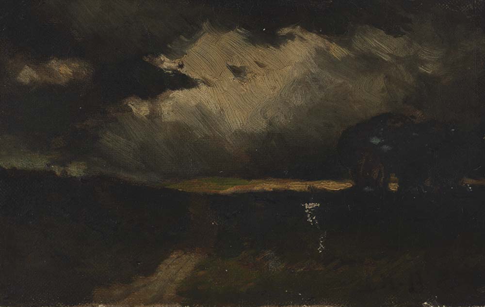
In mid-August 1893 dry northerly winds blew down from the desert plateaus of northern Africa to meet the winds and water off Cape Verde. They collided with southeastern winds gusting from the equator, forming low-pressure fronts that drew moisture from the summer-warmed Atlantic Ocean. The humid air condensed into storm clouds, and the trade winds cycled more and more air into the lens of low pressure hovering over the water. That air in turn rose to join the growing storm clouds. The layers of disturbance from the atmosphere to the ocean, of clouds, winds, and sea, took cyclonic shape. Fed by summer heat, ocean moisture, and air pressure, a hurricane began to swirl west. It amassed speed, force, and size as it charged across the Atlantic, dragging along ocean and atmosphere.
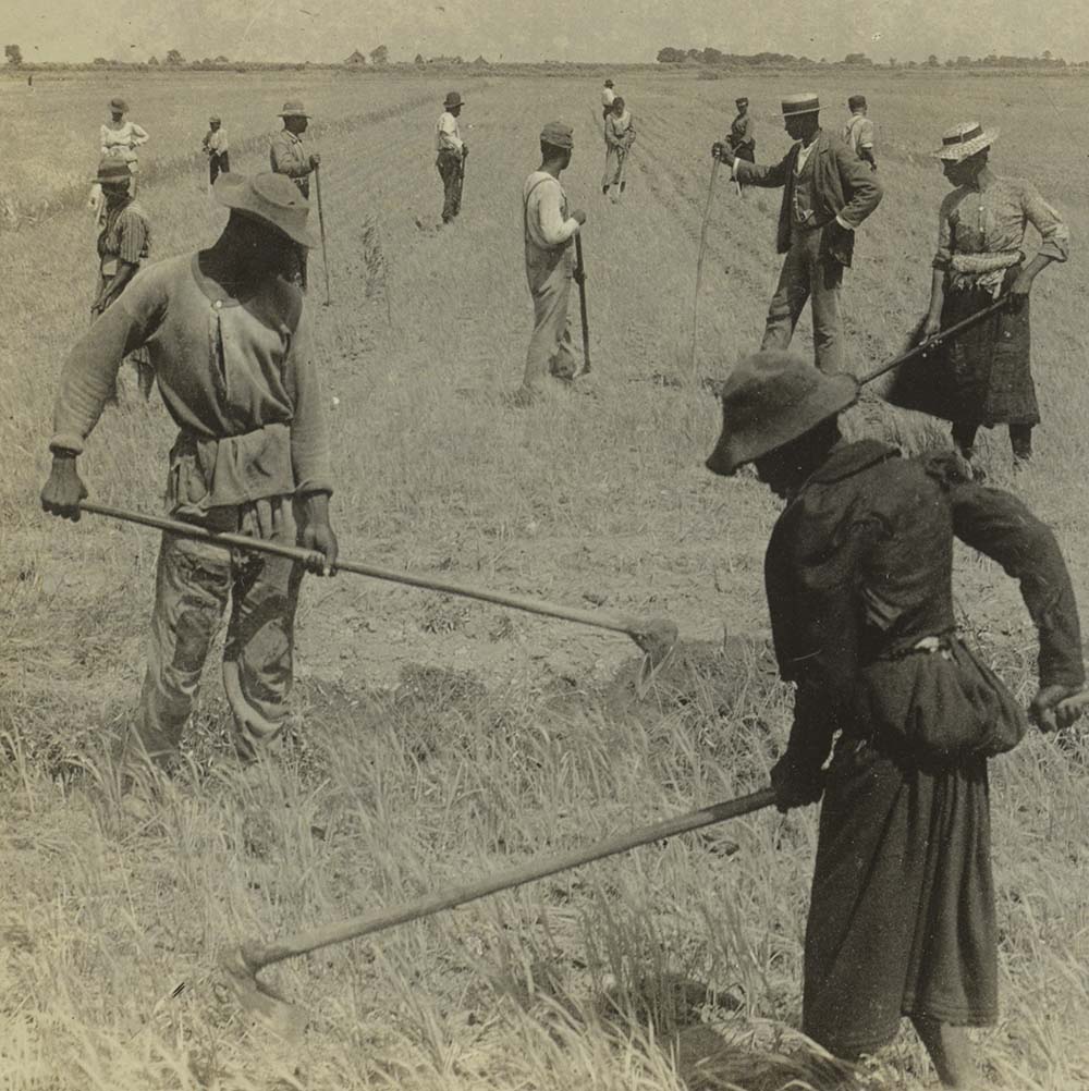
Outer arms of the gale swung across the ocean and over the late summer Lowcountry, saturated in heat. Low, heavy-bellied clouds mustered on the eastern horizon. In hot gusts, the wind bullied bands of clouds and goaded long swells of ocean toward the shore. Inhabitants of the Lowcountry turned toward the east as these early warning signs washed over the coast. Alice Louisa Fripp, an eighteen-year-old white woman living many miles from the ocean, noted the gale’s approach in the thick cloud cover and sudden showers. She wrote in her diary on Saturday, August 26, “Cloudy and east wind look like a storm is on the Atlantic coast.” The weather the next day—“cloudy, misty,” with a “high northeast wind”—compelled her prediction that “there is certainly a gale coming.” Anne Simons Dea, a white woman landowner who inherited her family’s rice lands, also wrote of the “sorry-looking” weather. “The clouds are flying rapidly from the east,” she noted, “while light hurried showers fall occasionally.” These two women, separated in age by decades but joined by their class and race, both relied on Black labor to tend their rice fields. In late August workers would have been surveying the wide fields of rice recently drained of their “harvest flow,” which supported the heavy golden sprays of rice as they ripened. African Americans used the same powers of observation in divining a storm’s approach. Walking to the fields along the banks and picking their way through the sucking mud, Black rice workers might have also felt the rising winds, persevered in their work through the periodic showers, and worried what the next few days would bring.
For thousands of years, Indigenous peoples of the Caribbean and the Gulf and Atlantic coasts had come to know the telltale signs of a hurricane’s approach—a shrouded horizon at sunset, humid breezes thick with salt, shorebirds finding safe roost, shifts in gusting winds from east to west. In 1893 the method of reading the horizon had not changed much. What continued to elude inhabitants of hurricane-prone coasts was forewarning of intensity. Familiarity with weather patterns made identifying the imminent arrival of a hurricane possible, but Black and white coastal residents alike found it tricky to divine the severity of the coming gale. Black sea islanders attempted to predict the ferocity of storms: every decade, they expected a significant hurricane, or if not, every generation. Some African Americans made predictions based on their livelihood. Fishermen of Charleston’s Mosquito Fleet, so called because of their boats’ fluttering brown sails and small size, zipping across the harbor, looked to the behavior of their prey. During the late summer, if fish were elusive, that might signal a brewing storm. Atlantic croaker, amberjack, black sea bass, sheepshead—the most prized fish for Charleston fishermen—swim into the still darkness of the ocean depths once they sense subtle shifts in barometric pressure and water temperature, to protect themselves from the turmoil of the storm on the surface.

Other signs from nature, more mystical, could not only foretell the coming of a dangerous hurricane—they could also be interpreted as the judgment of God on human behavior. Just before the hurricane, a Black worker tending the banks of rice fields upstream of Charleston told his white landlord that he had witnessed something remarkable. At each point of the compass, a full moon shone brightly, casting silvery light across the golden-green crop of rice. A sight so beautiful and remarkable, however, did not portend any good. “Dey gwine be strange thing happen,” he warned the landowner. The landowner did not believe him. “If that is so,” he chuckled, “I think I’ll come out on the banks, tonight, and see these things myself.” The Black rice worker told him that wouldn’t be possible, for God would only “show His signs and wonders to the pure of heart.” God had already judged white landowners in the Lowcountry, the descendants of enslavers, and had found them wanting. Their economic wealth, gained at the cost of Black lives, had corrupted their hearts so irrevocably that God would not unveil his portents to them. The hierarchy of heavenly morality was, apparently, inverse to the earthly social and racial hierarchy of South Carolina in 1893.
At moments like this, African Americans’ ways of knowing the weather revealed a holistic understanding of the Lowcountry environment, in which the omnipresent legacies of history bound the physical world to a spiritual world. As descendants of different West African peoples, many of whom had specialized knowledge of rice cultivation, Black rice workers in the late nineteenth century understood how their technologies, labor, and knowledge had long been exploited by white South Carolinians in and out of slavery. Some worlds were thus closed to whites because of their abuse.
While residents of the distant sea islands and isolated rice lands were left to their own devices, both prosaic and numinous, cities in the path of hurricanes benefited from weather warning systems. By the mid-nineteenth century, advances in telegraphic communication and in meteorologists’ understanding of Atlantic hurricanes as immense storms that rotate counterclockwise made these new warning systems possible. Since the Civil War, the federal government demonstrated a renewed interest in regimenting weather warning systems to facilitate safer shipping routes and thus greater profit. In 1870 the U.S. Signal Service, a branch of the military, established weather stations along the coast. Charleston received its first signal service officer in 1871, Sergeant J.E. Evans. His office was on the third floor of the Carolina Savings Bank building at the corner of Broad Street and East Bay, and he placed his thermometers, rain and wind gauges, and barometer on its rooftop. Weather monitoring was not a new pastime in Charleston. Daily weather records for Charleston stretch back to at least 1738. But now Charleston was looped into a nationally orchestrated weather monitoring system that included the use of telegraphs to convey alerts about approaching gales.
By 1890 the U.S. military had wearied of tying up officers in civil service. In response, the federal government created the Weather Bureau as a part of the Department of Agriculture and mandated that the bureau take over weather monitoring. The Weather Bureau dispatched a civilian agent to Charleston, Lewis Jesunofsky. Weather Bureau agents like Jesunofsky recorded hourly temperatures, barometric pressure, wind speeds, and observations about cloud cover, providing detailed meteorological records. A telegraph system connected the observers and allowed them to relay information about their records, to alert each other and the U.S. Weather Bureau headquarters in Washington, DC, about changes in the weather. The telegraph was undoubtedly a major innovation in hurricane monitoring, but its effectiveness was only made possible through improved federal organization of a weather reporting system.
Charleston’s position as a bustling shipping port relied on national connections and benefited from Jesunofsky’s presence. As a federal agent, Jesunofsky played a vital role in protecting the economic interests of wealthy Charleston landowners and merchants. Yet he was also an independent thinker in his own right—a characteristic that would have a meaningful impact on the city’s preparation for the August 1893 hurricane. Around the same time that Anne Simons Dea, Alice Fripp, Black farmworkers, and others along the coast began to suspect that a hurricane approached, Jesunofsky received alarming news from the Weather Bureau headquarters in Washington, DC. On August 25 the bureau had received reports via telegraphs from island officials of a storm traveling offshore of Nassau, in the Bahamas. The storm had lurked at sea until that day, when it strayed too close to Nassau to continue eluding detection by those on land.
The news of a hurricane was no great surprise to Jesunofsky. For two weeks, he had observed high seas and foul skies (though these were in fact the result of another hurricane that stayed deep in the Atlantic and did not make landfall). Weather forecasting, after all, remained an inexact science in 1893, more speculation than certainty. The barometers and other instruments then available provided maybe a day’s notice of a hurricane, and simple weather observation gave roughly the same. Alas, these reports, transmitted through telegraph lines from the Caribbean to Washington, DC, and then to agents, composed the best alert system that the Weather Bureau had. A hurricane brushing past Nassau meant that it was less than two hundred miles away from Florida, shockingly close to the mainland United States. Jesunofsky wasted no time. He hoisted a signal for a northeast gale from the rooftop of his office building, located on the eastern edge of Charleston’s peninsula. And as soon as the official reports from the Weather Bureau began to spread, weather-beaten steamers and ragged sailing craft straggled into ports on the Eastern Seaboard with tales of enormous seas and ferocious winds. As the hurricane and three others simultaneously battered the Atlantic, a catastrophe undocumented until that year, Jesunofsky began to brace for landfall. On Saturday the twenty-sixth, the bureau telegraphed Jesunofsky to alert him that the gale seemed to have swollen in size. However, DC officials also predicted that the storm would spin off into the ocean, leaving the southern seaboard of the United States unscathed.
Jesunofsky, Cassandra-like, disagreed. A low-pressure front had been skulking to the northwest of Charleston for days. Jesunofsky suspected that the storm would be drawn up to South Carolina, turn toward the front, and pass inland. As Saturday wore on, Jesunofsky’s prescience proved out. A “steady east wind” rustled the sea until it was “high and choppy,” Jesunofsky observed, so much moisture saturating the air that “a low haze covers the land and sea.” Soon afterward intermittent squall lines marched through the Lowcountry from the northeast to the southwest. The barometer continued to fall to frightening lows. That afternoon of Saturday the twenty-sixth, Jesunofsky spread the word of the gale by posting notice of an incoming storm on the doors of the Charleston newspaper the News and Courier. He hoped that at least the residents of Charleston could take precautions for the imminent storm. But whether all Charlestonians, or even a substantial percentage of them, noted his warning is not clear. Certainly sea islanders and inhabitants of the rural hinterlands around and between Charleston and Beaufort received no advance notice. Though how could anyone have predicted that the next night would bring the deadliest fourteen hours in Lowcountry history?
From Hurricane Jim Crow: How the Great Sea Island Storm of 1893 Shaped the Lowcountry South by Caroline Grego. Copyright © 2022 by Caroline Grego. Used by permission of the publisher.
