The history of Oregon’s Harney Basin after white conquest, like that of much of the region, has been a history of the collisions of American dreams with the rocky reality of the arid West. That history can be epic and it can be ugly. Before 2016, when Ammon Bundy added his name to the rolls, no single Anglo name had stood out in the tale of this remote land quite like the name Pete French.
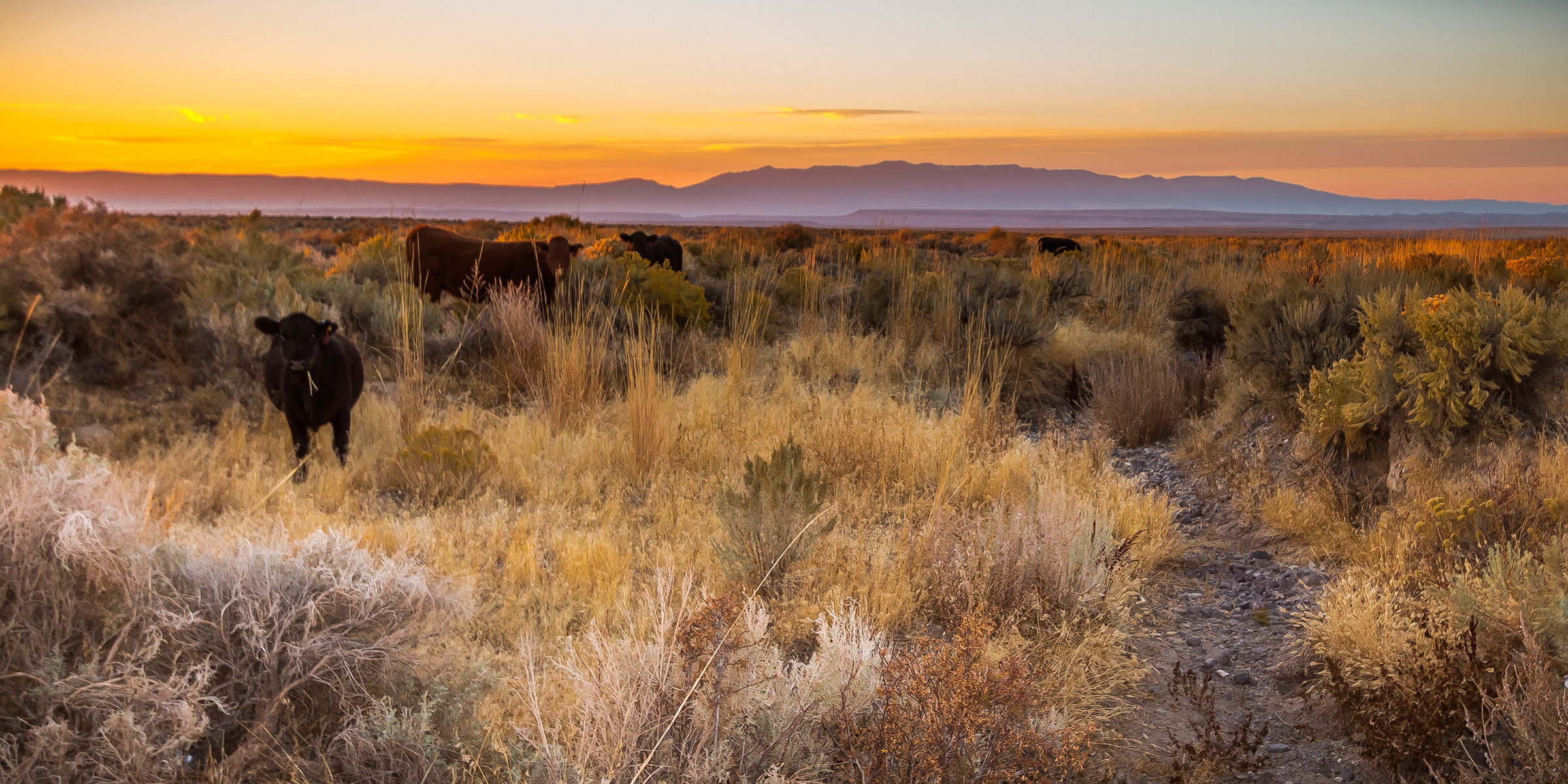
In 1868, when he came over the gap from the arid Catlow Valley and into the watered valley of the Blitzen, French had also liked very much what he saw. Wiry, with piercing eyes and an opulent mustache that in photos can seem far too large for his tiny head, French was possessed of uncommon energy, notable to his contemporaries even in a time of famously energetic and ambitious men. In the southern lands of the basin, along the flanks of Steens Mountain, he’d establish—within a few years—one of the greatest cattle empires the West would ever know. His name is still heard often in that country—and much is coalesced in its two brightly stressed syllables. Pete French is contemporary shorthand for French’s time, the era of the great cattle kings. It evokes both the overbearing and sometimes brutal monopolistic drive of French and his fellow cow barons, while also conjuring feelings of nostalgia for the first epoch of cattle ranching in the county. While always relentless and sometimes openly ruthless in the pursuit of more territory for the massive P Ranch, French did as much or more than anyone else for the development of a local style of ranching, which remains a source of great pride.
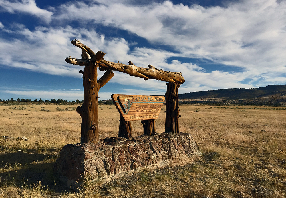
French’s P Ranch devoted much attention to the production of hay for winter feed. Hay is the only crop that can be grown with any reliability in this cold climate, with its very late and very early frosts. All this made for a kind of ranching not practiced in the warmer parts of the West or down in Texas. To grow hay, French took to creating irrigated flood meadows—essentially turning the meadows into little shallow lakes every spring, when the dry land was drenched with the snowmelt that ran off the back and down the wild gorges of Steens, the long fault-block mountain that rises above the valley. Steens is more like a tilted horizon than a mountain. It grows upward at a regular angle for thirty miles through grassland and sage to the high alpine wonderland of its ridgeline—a great claw that catches copious snowfall each winter. The spring flow off the mountain, which French and his men redirected into their meadows, spurred hearty crops of native grasses, local varieties accustomed to growing in this dynamic, regularly flooding landscape. In doing this, French and ranchers like him, without knowing it, ecologists now suspect, may have partly restored elements of the landscape that had recently been lost because of other white incursions—those of the trappers, who had hunted beaver to near extinction across the Great Basin in the early nineteenth century. Now new beavers were in town, and with them, new floods—which was something appreciated by the huge populations of migrating birds that had been stopping for centuries in the Harney Basin to bulk up each spring in preparation for nesting and the rest of their migration north.

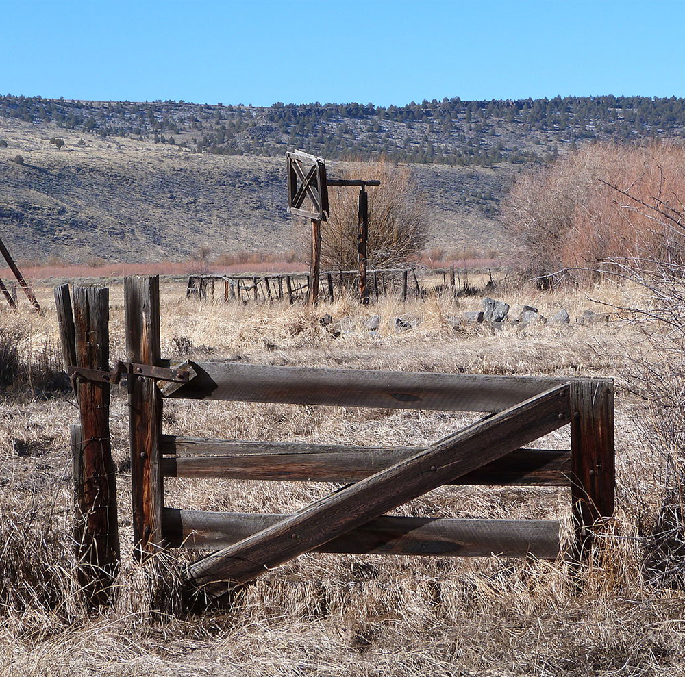
But if Harney County’s story had been one solely of innovative ranchers living in creative synergy with the dynamic ecosystem of the region, none of us would have heard of the place—neither I nor you nor Ammon Bundy. After the cavalry and the encroachments of settlers had pushed local Paiute people to a reservation in the north end of the basin—and then taken that from them as well—battle lines began to appear among the newcomers. Now the contention was between the big-timers like French and small-time homesteaders. These latter interlopers were hoping against hope to make a life of farming in a dry, cold place where the last frost often came in July and the first as early as August. The landscape still bears the traces, like much of the West, of their broken dreams. Ruins of homesteader shacks in the sage now make lovely photographic images, drenched in western melancholy, but in their day they must have hosted their share of the shouts and tears of hunger and despair. Land-hungry cattle kings like French and his backer Hugh Glen, or Henry Miller and his partner Charles Lux, didn’t make it any easier for their homesteading neighbors. These men could be brutal in squeezing out competition as they engorged their ranches. Miller and Lux, who controlled well over a million acres from Idaho and Oregon down to the San Joaquin Valley in California, had 200,000 acres at one point in the Harney Basin and the Harney Valley. Hugh Glen and Pete French’s P Ranch grew to 140,000 acres at its zenith. (The P Ranch’s starter herd of 1,200 cows would grow as large as 45,000—along with 3,000 horses and mules.) The drier the country, the more range the cattle need to fatten, and the cow barons had little tolerance for the foolhardy farming or small-scale cattle-rearing dreams of pioneers. In the end this would cost Pete French everything.
French’s time was part of what historian Peter K. Simpson has called the heroic epoch in Harney County cattle rearing; that period, Simpson writes, can be seen to come to its close with French’s violent death. By the 1890s the frontier era had famously mostly come to an end in America, and the small bonanza in the Harney Basin and the Blue Mountains to the north had reached a crisis point. Overgrazing and competition between roaming sheepherders and small-time and enormous cattle operations was exploding into open violence as range after range was munched down to dirt and rock. Violence was just one result of the convergence of too many dreams upon a cold and arid land that could only ever sustain a few hard-won dreams at a time. But dreams don’t die so easily in America, and the alkaline soils, the constant threats of frost or drought or flood, or the competing claims of a powerful rancher like French hadn’t stopped a group of hard-luck, land-hungry settlers from grabbing land and squatting in plots along the meander lines of the always fluctuating Malheur and Harney Lakes. It was conflict with one especially hardheaded settler from this bunch that would cost French his life, in a violent incident that cast a quiet shadow across the history of the county.
Ed Oliver was known to be stubborn, irascible even, and he had fought long and hard to get an easement through some of the pastureland of French’s P Ranch, on the southern shore of Malheur Lake, where he had homesteaded. Oliver had won the right-of-way, to the deep irritation of French, who thought that Oliver was taking advantage by letting his cattle graze unduly on P Ranch lands. When the squatter moved his stock along the easement through the pastures of the P Ranch, there was nothing to stop his beasts from gobbling forage all the way, and so they did.
The conflict came to a head on December 26, 1890, when Oliver came down his easement path to find French and company putting in a new fence to further cut off his access. What happened next is not entirely clear, but there was a confrontation that became immediately physical and then mortal. One account claims that Oliver drove his horse directly into French’s and that French had then proceeded to humiliate Oliver by beating him about the head and torso with his horsewhip. When an enraged Oliver pulled out his gun, the unarmed French rode quietly away, this story goes, only to be shot in the head. There are other versions, but they all end like this, with Oliver shooting an unarmed French from behind. What happened when the case went to trial gives you an idea of the nature of the conflict in the county: Oliver was acquitted by a jury of his peers. Self-defense, he’d said. His peers had agreed.
In the years after French’s death, the land power in Harney County and much of the Intermountain West had shifted slowly from the cattle kings to the federal government—to such a degree that more militant ranchers like the Bundys in the Mojave had come to despise the agencies and the regime of public lands as much or more than their nineteenth-century ancestors had resented French and his ilk. This despite the fact that it was the existence of federal public lands that had arguably done more than anything to keep the livelihoods of smaller family ranches sustainable in the hard country of the West. Every region had its own version of the story; in Harney County, the lands of Pete French’s ranching empire were at the center of it.

In 1916 the ranch’s new owners reorganized for a second time and sold 46 percent of their operation to an entity emblematic of the larger powers at work in the nation. The immediate interest of Louis Swift of Swift & Company, the great Chicago meatpacking concern, lay not only in the cattle raised on the lands of what was now called the Eastern Oregon Livestock Company, but in the large number of hogs rooting about through the marshes and meadows of the Blitzen Valley. These succulent, feral swine were the living legacies of all the failed homesteader dreams of the region. Louis Swift efficiently transmuted these to sausage and bacon, shipping them out on the railway line that had just reached the north end of the basin, but afterward neither Swift nor his partners ever seemed to figure out what exactly to do with their holdings, which included the whole southern half of the watershed of the region. There were ill-conceived development schemes involving irrigation projects; these, it was hoped, might sucker in some more would-be farmers, but they never panned out. In 1928 Swift bought out his partners’ shares, but in the hard drought years of the Depression, with Swift & Company facing financial problems of its own, he sold out to the Malheur National Wildlife Refuge. With this acquisition, the federal sanctuary doubled its size and gained control of some of the most important bird and fish habitat in the region. The refuge, one of the first in the nation, had come into existence earlier in the twentieth century, when Teddy Roosevelt, the first true conservationist president, had designated it in an emergency effort to save the birds that migrated and nested throughout the zone. Many of these had become subject to wholesale slaughter by outsider commercial hunters. It was all for the millinery market. The early twentieth century, with its human mania for feathered hats, had been a very tough time to be crane or an egret.
A new generation of small to midsize ranchers had prospered in the mid-twentieth century after the end of the cattle barons and the near-catastrophic overgrazing that had characterized the Depression era. Some of these ranchers were descendants of the small-fry homesteaders who’d tried to farm the bed of Malheur Lake in dry years—and whom Pete French had fought hard for many years to remove. They’d held on into the twentieth century and eventually lost their case—now with the new owner of the lands around the lake: the federal government’s bird refuge. They’d lost, but really they’d won, because they’d received generous court-ordered cash settlements for the long-term hardship they’d endured waiting for the case to be resolved. Some had used the money to buy much better land and go into Pete French’s old business. Descendants of these homesteaders are among the most prominent ranching families in the region today.
The mid-twentieth century had also seen the new federal wildlife refuge develop an at times uneasy but mostly smooth accommodation between itself and local cattlemen. The refuge manager for much of the time, John Scharff, had a ranching background, and he saw no inherent conflict between his mission of increased wild bird “production,” in the lingo of the Fish and Wildlife Service, and grazing access. The refuge was run more or less like a farm for wild birds; ensuring grazing and haying access for the refuge’s neighbors also stayed a priority.

The Fish and Wildlife Service’s refuge is a large federal landholder in the Harney Basin, but much larger in the county and throughout the West is the Bureau of Land Management. The agency had come into existence through the crisis of the Dust Bowl years of the Depression. After the period of the cattle barons, federal management of the public lands had gradually become more direct. Really, in much of the West, there’d been hardly any management at all. What little had come in at first had been state or local—water boards and the like—establishing vest-able water rights for individual ranchers in the effort to head off range wars and the pernicious problem of overgrazing. But overgrazing had persisted. Sheep and cows were nibbling the West to dust, and by the era of the Great Depression something had had to be done. In 1934, with the passage of the Taylor Grazing Act, the federal government stepped in as a referee and guarantor, helping to stabilize the business—establishing marked-out exclusive grazing areas for ranchers who could demonstrate their long-standing use and/or water rights on a stretch of public land. Some ranchers welcomed this eagerly, others with suspicion, but overall it had worked for many. The BLM was established in the 1940s to oversee the lands newly delineated under the Taylor Grazing Act. At first its priorities had been the health of the grazing lands and the western ranching sector. Nobody could really see what else these arid lands could possibly be good for besides ranching.
Over the years, that had changed. All the branches of the military had established massive bases in the west after World War II. By the 1970s, there were also new and urgent ecological concerns, and a new feeling for the landscape value of the American deserts. These were accompanied by increasing desires for outdoor recreation among the huge populations of the new cities of the West—itself creating a new booming economic sector that would soon dwarf western public-lands ranching. Pressures on federal agencies to adapt began to build, and soon ranchers were feeling the pressure too. It was the same throughout the West, and by the 1980s and 1990s tensions were high. Some now advocated the removal of cows from sensitive public lands like the Malheur National Wildlife Refuge; some even advocated the removal of cows from all public land.
From Shadowlands: Fear and Freedom at the Oregon Standoff by Anthony McCann, published by Bloomsbury Publishing. Copyright © 2019 by Anthony McCann. Reprinted by permission of Bloomsbury Publishing.

